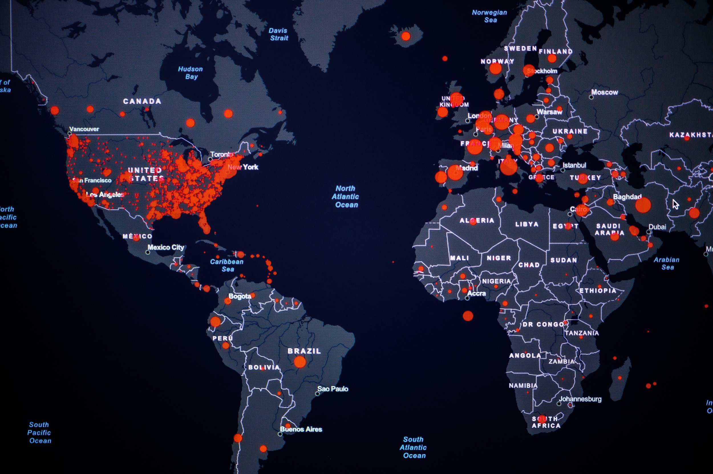
Geographic Information Systems (GIS)
INCATech offers a wide range of Geographic Information System (GIS) Services & Solutions, from data creation and maintenance to application development to custom training. We have expertise at the federal level, assisting in the agency-wide implementation of GIS systems, services and applications. We specialize in supporting emergency management and response organizations by creating custom Common Operating Pictures (COPs) that integrate their data from multiple outside sources and an incident management module for tracking and reporting!

INCATech is silver tier partner with Esri and winner of the 2023 Federal Small Business Specialty Partner of the Year Award proven by a long-term professional relationship across various Government agencies (NTIA, DoS, DHS).
GIS Capabilities Services And Benefits
-
INCATech provides geospatial database and server administration capabilities to support developing, maintaining, and optimizing data services from multiple sources (Including but not limited to Esri enterprise data store, geodatabases, GeoServer, and GeoNode). INCATech assesses and enriches datasets for application to specific use cases (i.e., spatial analysis, spatiotemporal modeling) and determines the suitability of government/academic/commercial data sources for incorporation into your business processes.
Key Benefits:
Proper organizational data design and implementation will provide downstream applications, and users can use data confidently.
Leverage deep organizational expertise within INCATech to transform datasets from raw data into consistent data structures using automated and semi-automated routines, enabling your organization to access deep knowledge of both proprietary and open-source geospatial data formats and associated ability to build integrated systems to ensure data accessibility and usage.
-
Esri has designated INCATech as ‘Release-ready and been placed within their Beta Testing Groups for emerging products (e.g., ArcGIS Enterprise on Kubernetes, Survey123 machine-learning, etc.). INCATech can deploy ArcGIS Enterprise and federate to trusted systems incorporating Esri and non-Esri software and server components. Provide ‘just-in-time’ resources to manage short, medium, and long-term project needs. We are setting granular security policies and specialized defense mechanisms on each instance of ArcGIS Enterprise and its server components by moving towards zero-trust architectures. INCATech meets customer security, compliance, regulatory, governance, and transparency requirements. INCATech has demonstrated success across our support for various DOD, IC, DHS, and other Federal civilian agency customers. We Integrate and organize your data, systems, and applications so that they function at the enterprise level across your organization. INCATech drives mission success by administering and engineering ArcGIS Enterprise to host and manage mission operations across applications.
Key Benefits:
Access multi-disciplinary personnel help deliver data management solutions that integrate with both spatial and non-spatial systems.
Leverage experience and expertise in navigating Federal and Organizational IT policies to ensure systems maintain an optimal security posture and authority to operate.
Benefit from INCATech’s System Ready designation to keep up-to-date with the latest ArcGIS Enterprise and Server products and test-driving software before implementing them in your systems.
-
INCATech builds custom responsive UX-friendly applications that meet business requirements with Esri SDKs and Open-Source libraries (e.g., OpenLayers, Leaflet, etc.). Skilled software engineers ensure delivery of highly performant applications that synchronize mobile/field data collection efforts for shared real-time situational awareness in the office or out in the field. From developing location-aware workflows to ensure your userbase is notified when features of interest or conditions on the ground change; integrating your messaging systems with your geospatial products to improve communication, reduce waste, and improve organizational efficiency, INCATech will build the right tooling for your stakeholders.
Key Benefits:
Extend COTS applications to meet business requirements.
Integrate your existing geospatial platform data with external systems.
Implement stepped workflows that enforce your business rules to preserve organizational data integrity, improve task efficiency, and support.
Integrate custom identity providers into centralized applications to deliver organizational data.
-
Anticipate and proactively address areas of need with INCATech's Spatial Analytics and Data Science expertise by analyzing trends in your data. Determine shifting posture through hot spot and outlier analysis and bring spatiotemporal analysis capabilities to offer improved analytical capabilities within your organization! From targeted analysis to meet time-sensitive deadlines to larger scale research efforts, INCATech helps make your data useful, not burdensome. We bring extensive experience in executing data-intensive inquiries, conceptualizing the most optimal methodology for performing the analysis within constraints (i.e., data availability, selection of algorithm/model/methodology, use of tooling, etc.), and executing the analysis with verifiable and repeatable outcomes.
Key Benefits:
Understand and explore how location is relevant to your work, delivering quantitative results to enable data driven decision making.
Model human behavior through GIS workflows that enable you to determine how socioeconomic, accessibility and other factors influence your work.
Analyze data at scales and levels of detail not possible (or cost-effective) possible through traditional analyst workflows.
-
Bringing a broad understanding of the various platforms, methods, and skills needed to effectively build geospatial capabilities and increase organizational buy-in to GIS, we design designs training products that effectively engage users, productively use resources, and build understanding through a logical flow of learning objectives. Whether the objective is to train users on specific workflows and tools or to provide education on geospatial data/analytic subject matter, INCATech is prepared to meet your comprehensive needs as we have demonstrated on a myriad of other contracts. We have expertise in developing tiered course curriculum materials, exercises and guided practice scenarios, help/reference documentation for student learning, and standardized operating procedures (SOPs) for the use of geospatial tools.
Key Benefits:
Learn from Consultants who both advise and implement geospatial solutions, bringing tangible training that deliver real-world value.
Access approaches and concepts not captured in software documentation to navigate building GIS solutions and workflows tailored to your stakeholder needs.
Tailor the level of training complexity to your stakeholder needs and skillsets to build staff capabilities from understanding what is GIS, to receiving hands on training related to advanced technical concepts and technology.
Related Content


